Kategórie v Biscoitos
Priemyselná
Rozloženie podnikov podľa odvetvia v Biscoitos
| Popis odvetvia | Počet prevádzkarní |
|---|---|
| Reštaurácie | 8 |
| Ostatné ubytovanie | 8 |
| Hotely a motely | 6 |
Fakty o Biscoitos
| plocha | 2.5 km² |
| Počet obyvateľov | 661 |
| Obyvateľstvo mužov | 320 (48.4%) |
| Ženská populácia | 341 (51.6%) |
| Zmena populácie (1975 to 2020) | -44.5% |
| Zmena populácie (2000 to 2020) | -26.2% |
| Priemerný vek | 40.2 rokov (Muži: 38.7, Ženy: 41.8) |
| Susedia | Biscoitos |
| Miestny čas | |
| Časová zóna | azorský letný čas |
| Súradnice | 38.78333, -27.25000 |
| PSČ | 9760 |
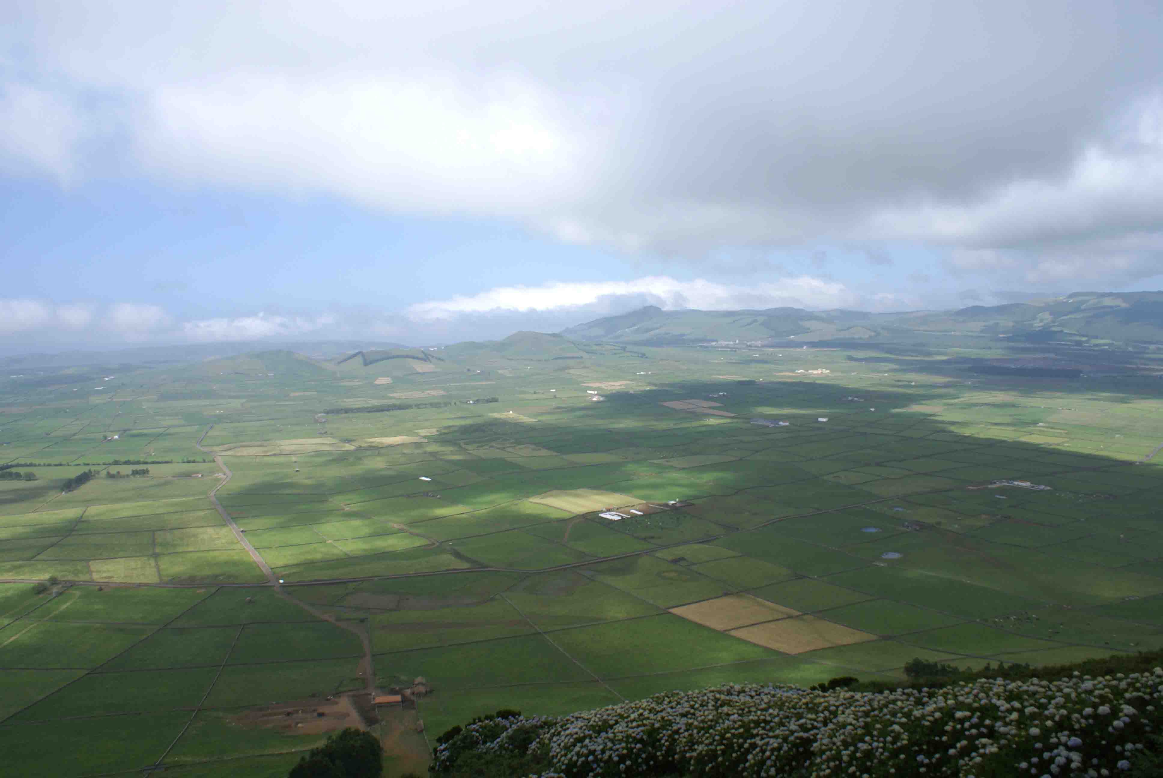
Mapa Biscoitos
Interaktívna mapa
Populácia Biscoitos
Roky 1975 až 2030
| Data | 1975 | 1990 | 2000 | 2015 | 2020 | 2025* | 2030* |
|---|---|---|---|---|---|---|---|
| Počet obyvateľov | 1 191 | 1 016 | 896 | 693 | 661 | 614 | 572 |
| Hustota obyvateľstva | 476,4 / km² | 406,4 / km² | 358,4 / km² | 277,2 / km² | 264,4 / km² | 245,6 / km² | 228,8 / km² |
* Predpokladané
Zdroje: JRC (European Commission's Joint Research Centre) práca na GHS built-up gridZmena populácie Biscoitos od 2000 do 2020
Pokles o 26.2% od roku 2000 do 2020
| Miesto | Zmena od roku 1975 | Zmena od roku 1990 | Zmena od roku 2000 |
|---|---|---|---|
| Biscoitos | -44.5% | -34.9% | -26.2% |
| Azory | — | — | — |
| Portugalsko | — | — | — |
Zdroje: JRC (European Commission's Joint Research Centre) práca na GHS built-up grid
Medián veku Biscoitos
Medián veku: 40.2 rokov
| Miesto | Priemerný vek | Stredný vek (žena) | Stredný vek (muž) |
|---|---|---|---|
| Biscoitos | 40.2 yrs | 41.8 yrs | 38.7 yrs |
| Azory | 39.5 yrs | 40.6 yrs | 38.5 yrs |
| Portugalsko | 42 yrs | 43.5 yrs | 40.4 yrs |
Zdroje: CIESIN (Center for International Earth Science Information Network)
Hustota populácie Biscoitos
Hustota populácie: 264 / km²
| Miesto | Počet obyvateľov | plocha | Hustota |
|---|---|---|---|
| Biscoitos | 661 | 2,5 km² | 264 / km² |
| Azory | 14 015 | 175,2 km² | 80 / km² |
| Portugalsko | 10,3 million | 92 264,9 km² | 112 / km² |
Zdroje: JRC (European Commission's Joint Research Centre) práca na GHS built-up grid
Historická a predpokladaná populácia Biscoitos
Odhadovaná populácia od 1975 do 2100
Zdroje:
- JRC (European Commission's Joint Research Centre) práca na GHS built-up grid
- CIESIN (Center for International Earth Science Information Network)
- [odkaz] Klein Goldewijk, K., Beusen, A., Doelman, J., and Stehfest, E.: Anthropogenic land use estimates for the Holocene – HYDE 3.2, Earth Syst. Sci. Data, 9, 927–953, https://doi.org/10.5194/essd-9-927-2017, 2017.
Telefónne Predvoľby
Percentá kódov území použitých firmami v Biscoitos
Index ľudského rozvoja (HDI)
Štatistický zložený index strednej dĺžky života, vzdelania a príjmu na obyvateľa.
Zdroj: [odkaz] Kummu, M., Taka, M. &Guillaume, J. Gridded global datasets for Gross Domestic Product and Human Development Index over 1990–2015. Sci Data 5, 180004 (2018) doi:10.1038/sdata.2018.4
Emisie CO2 Biscoitos
Emisie oxidu uhličitého (CO2) na obyvateľa v tonách za rok
| Miesto | Emisie CO2 | Emisie CO2 na obyvateľa | Intenzita emisií CO2 |
|---|---|---|---|
| Biscoitos | 5,152 tn | 7.79 tn | 2,060.9 tons/km² |
| Azory | 72,867 tn | 5.2 tn | 415.9 tons/km² |
| Portugalsko | 63,833,570 tn | 6.2 tn | 691.9 tons/km² |
Zdroje: [odkaz] Moran, D., Kanemoto K; Jiborn, M., Wood, R., Többen, J., and Seto, K.C. (2018) Carbon footprints of 13,000 cities. Environmental Research Letters DOI: 10.1088/1748-9326/aac72a
Emisie CO2 Biscoitos
| Emisie CO2 v roku 2013 (tony/rok) | 5,152 tn |
| Emisie CO2 v roku 2013 (tony/rok) na obyvateľa | 7.79 tn |
| Intenzita emisií CO2 v roku 2013 (tony/km²/rok) | 2,060.9 tons/km² |
Riziko prírodných rizík
Relatívne riziko z 10
| Nebezpečenstvo | Úroveň rizika |
|---|---|
| cyklón | Stredné (5) |
| vulkán | Nízke (3) |
* Riziko, najmä pokiaľ ide o povodeň alebo zosuv pôdy, nemusí byť pre celú oblasť.
Zdroje:
- Dilley, M., R.S. Chen, U. Deichmann, A.L. Lerner-Lam, M. Arnold, J. Agwe, P. Buys, O. Kjekstad, B. Lyon, and G. Yetman. 2005. Natural Disaster Hotspots: A Global Risk Analysis. Washington, D.C.: World Bank. https://doi.org/10.1596/0-8213-5930-4.
- Center for Hazards and Risk Research - CHRR - Columbia University, Center for International Earth Science Information Network - CIESIN - Columbia University, International Bank for Reconstruction and Development - The World Bank, and United Nations Environment Programme Global Resource Information Database Geneva - UNEP/GRID-Geneva. 2005. Global Cyclone Hazard Frequency and Distribution. Palisades, NY: NASA Socioeconomic Data and Applications Center (SEDAC). https://doi.org/10.7927/H4CZ353K.
- Center for Hazards and Risk Research - CHRR - Columbia University, Center for International Earth Science Information Network - CIESIN - Columbia University. 2005. Global Volcano Hazard Frequency and Distribution. Palisades, NY: NASA Socioeconomic Data and Applications Center (SEDAC). https://doi.org/10.7927/H4BR8Q45.
Nedávne zemetrasenia v okolí
Hodnota 3,0 a vyššia
| Dátum▼ | Čas↕ | Magnitude↕ | Distance↕ | hĺbka↕ | Miesto↕ | odkaz |
|---|---|---|---|---|---|---|
| 1/27/08 | 1:52 PM | 4.2 | 57.3 km | 10,000 m | Azores Islands, Portugal | usgs.gov |
| 3/4/00 | 6:42 PM | 4.6 | 69.5 km | 10,000 m | Azores Islands, Portugal | usgs.gov |
| 11/24/97 | 7:08 PM | 4.4 | 74.6 km | 10,000 m | Azores Islands, Portugal | usgs.gov |
| 8/27/97 | 6:50 PM | 4.9 | 89.2 km | 10,000 m | Azores Islands, Portugal | usgs.gov |
| 7/18/97 | 5:32 PM | 4.4 | 79 km | 33,000 m | Azores Islands, Portugal | usgs.gov |
| 7/15/97 | 9:00 PM | 4.5 | 63.6 km | 10,000 m | Azores Islands, Portugal | usgs.gov |
| 7/7/97 | 7:39 PM | 4.1 | 65.1 km | 10,000 m | Azores Islands, Portugal | usgs.gov |
| 7/7/97 | 6:54 AM | 3.6 | 78.7 km | 10,000 m | Azores Islands, Portugal | usgs.gov |
| 6/30/97 | 4:57 AM | 4.5 | 77 km | 10,000 m | Azores Islands, Portugal | usgs.gov |
| 6/29/97 | 4:22 AM | 4.5 | 62.4 km | 10,000 m | Azores Islands, Portugal | usgs.gov |


O našich údajoch
Údaje na tejto stránke sú odhadované pomocou rôznych verejne dostupných nástrojov a zdrojov. Sú poskytované bez záruky a môžu obsahovať nepresnosti. Používajte na vlastné riziko.